Per-site risk score
A 1–10 score updated from satellite, sensors, and latest field mission.
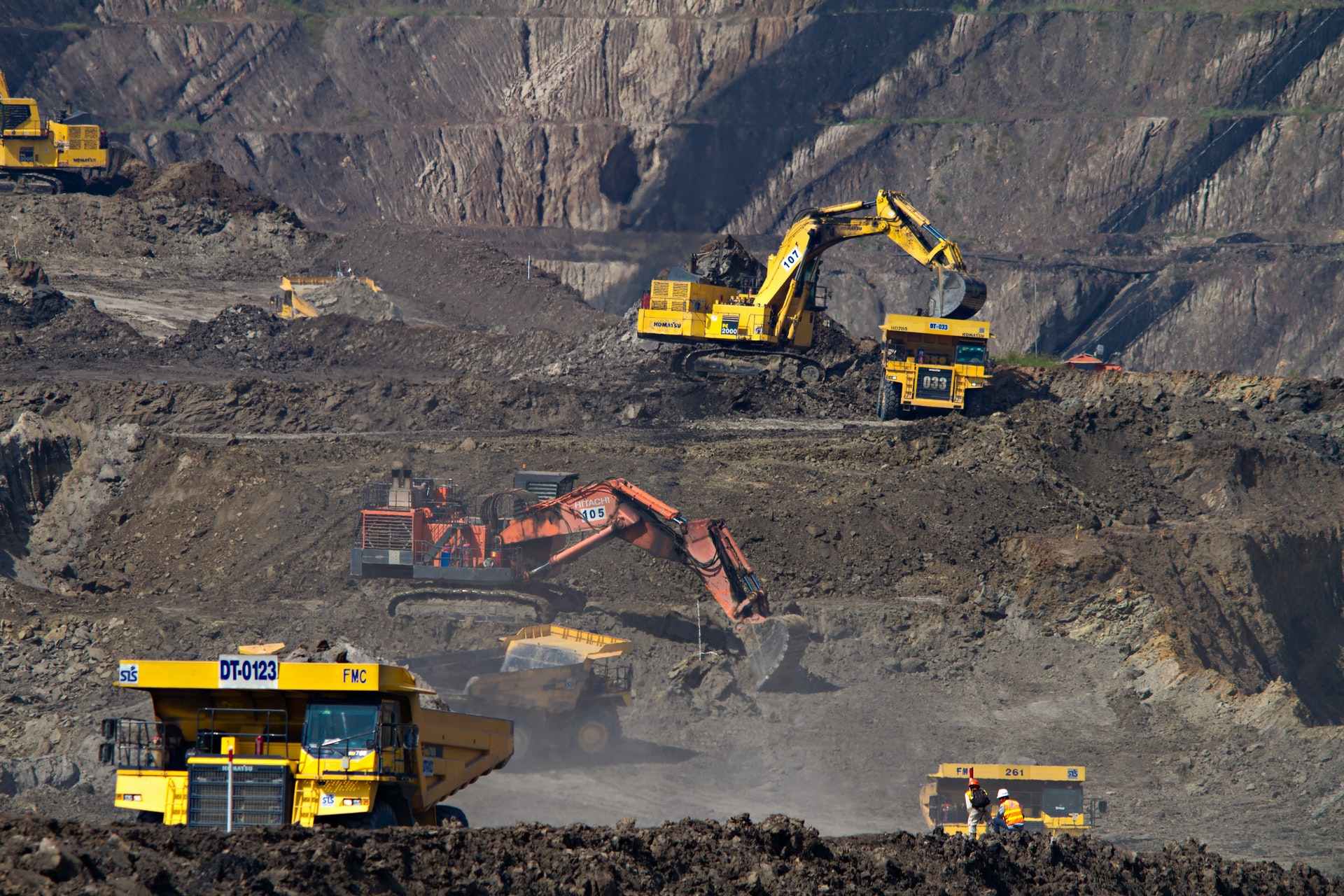
MINE AOI · SENTINEL + SENSORS
INTELLIGENCE · MINING
Volumes, slopes, satellite change, and field sensors — translated into urgency and action for foreman, geotech, and mine management.
Sign up for 3 days of free desk access. After the trial, institutional activation continues under Derteano owner authorization.
Spreadsheets, loose orthophotos, and context-free sensors slow decisions. DAI-ATLAS Intelligence unifies everything in one auditable operational site.
Active Intelligence desk modules — not a drone catalog.
A 1–10 score updated from satellite, sensors, and latest field mission.
Explains slope movement, volumes, and trends without unnecessary GIS jargon.
Sentinel, SRTM, and SENAMHI context integrated into the concession AOI.
Every query, alert, and tool call logged for chain of custody.
“Inclinometer on berm 440 reports 4 mm displacement in 72 h. Urgency 7/10 — reduce traffic in the north zone and schedule VTOL inspection before night shift.”
DAI field operations — mining
VTOL, LiDAR, and surveys under institutional contract.
View field operations →Registration includes 3 days of free desk access. After the trial, institutional activation continues under owner authorization.
No. It prioritizes signals and documents evidence; operational decisions stay with certified staff and your protocols.
The desk syncs when linked; critical alerts can route through channels agreed in the institutional contract.
Sign up — 3 days desk access. Real operational AOI requires Derteano owner authorization.
Ready for an institutional demo or contract activation?
Request demo