Traffic Inspection

Quick and accurate understanding of the situation on site

DAI-ATLAS

Territorial intelligence for this sector

Satellite, IoT sensors, and DAI-UAV VTOL sorties converge in a live map — volumetrics, risk, change, and projection before the rest of the market.

Application Scenarios

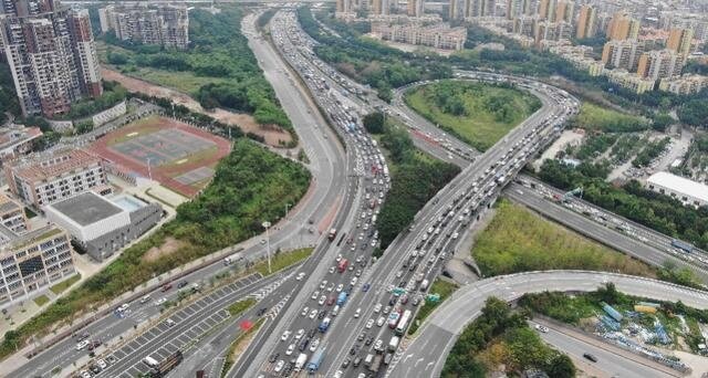
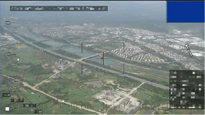
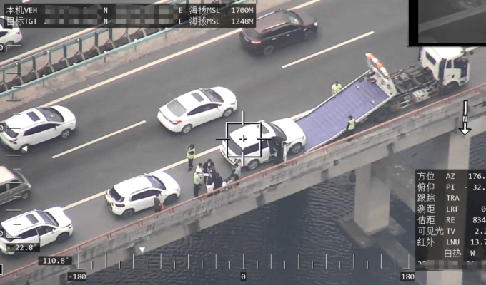
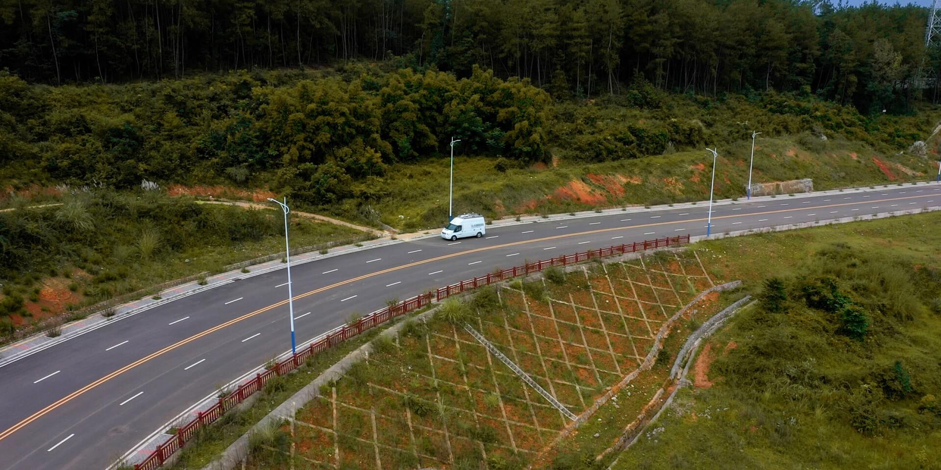
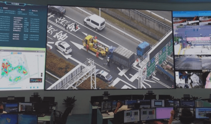
Drones can monitor road traffic conditions, identify and locate vehicles, and create heat maps. By conducting vehicle density monitoring, when the density in the video area continues to increase, it indicates that more vehicles may cause congestion. At this point, drones can be used for an emergency response to dispatch according to the situation on the spot and quickly resolve road congestion and restore road flow.

UAV can automatically accomplish the mission according to the plan and send the video information to the road command center through the mobile Internet. The road command center can keep track of road traffic and weather conditions in time, and publish the real-time road conditions to the information platform, so as to be able to make responses and update the road condition information in a timely manner.

The "violation" images taken by UAVs can be transmitted to the command center platform in real-time as evidence of law enforcement. Through AI algorithms can be used to identify vehicle license plates and notify law enforcement officers to stop the violated vehicles and make the punishment.

Application Cases

DAI VTOL drone equipped with dual-light gimbal cameras can be used in regular road inspections and unscheduled high-definition photography of key areas, so that can achieve the mission goal of "discovering and response in time". Inspection images can be uploaded to the information platform of the command center to realize information intercommunication in the area.

DAI CW series surveillance UAS completed a patrol mission of a section of highway in Guizhou province, China. This drone surveillance was 45 kilometers and total round-trip flight mileage of the UAV was nearly 90 kilometers, and the real-time image transmission distance was 30 kilometers. The video has been transmitted to the command center of the traffic police corps throughout the entire process. All historical inspection information can be saved to build an information database.

Talk to DAI about VTOL missions, DAI-ATLAS fusion, and fleet integration.

Talk to Sales