
Ask, don't code
Queries in Spanish or English about AOIs, time series, or risks — no SQL or processing scripts.
AGENTIC AI · DAI-ATLAS
Geospatial data is abundant, yet its value often stays locked behind specialized tools. The DAI territorial agent interprets your intent and runs end-to-end workflows — from question to auditable map.
Readable maps, color layers, and explainable answers — the same visual language operations directors expect, adapted for sovereign Peru.
Bring geospatial capability into a modern chat. Ask in plain language about your territory — the agent turns intent into layers, reports, and actions in DAI-ATLAS.
Product demo
Queries in Spanish or English about AOIs, time series, or risks — no SQL or processing scripts.
Prioritizes Peruvian and regional sources — SENAMHI, cadastre, field, and satellite — with provenance citations.
Every output includes steps, parameters, and sources — ready for technical review or procurement.
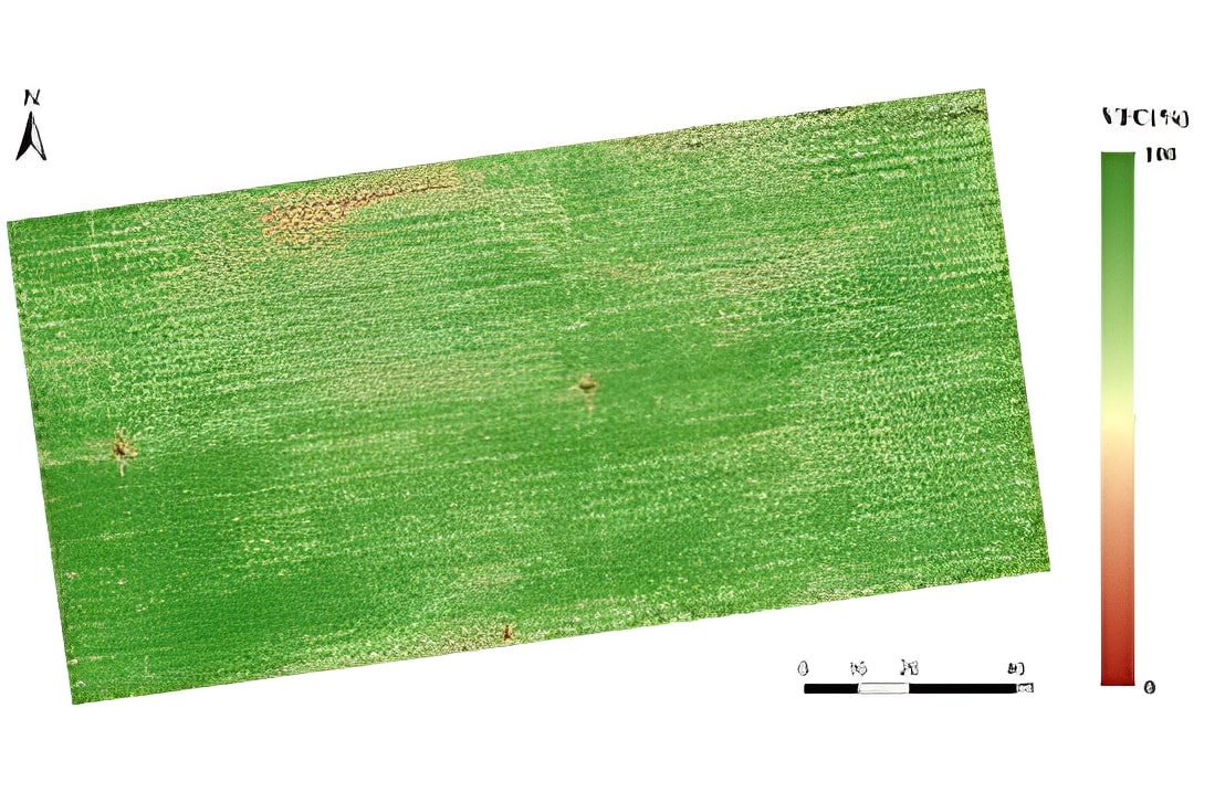
Time series, ML parcels, and water stress as layers extension teams and ministries can act on.
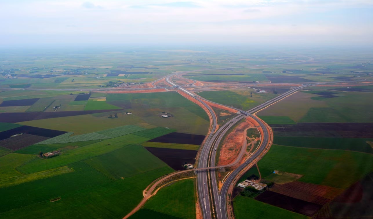
View agriculture →Land-use change across time windows — datasets ready for municipal or EIA review.
View smart city →The agent interprets your prompt, infers intent, and builds on-demand geospatial pipelines — clip, indices, classification, and delivery in minutes, not weeks.
Product demo
From question to shareable map in the same session — no extra hardware or ad hoc integrations.
One corridor, one basin, or one region — same workflow patterns, different AOI.
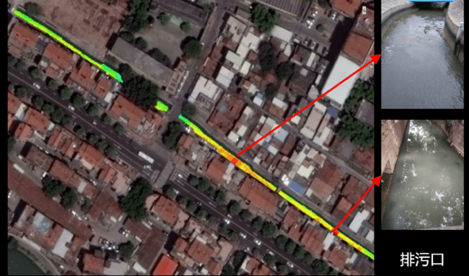
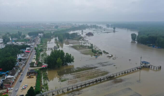
Detect anomalies, intersect critical routes, and push alerts to response teams.
Floodwater over evacuation routes — shareable map for field teams.
View emergencies →SAR + optical change detection and risk overlays on power corridors and fiber.
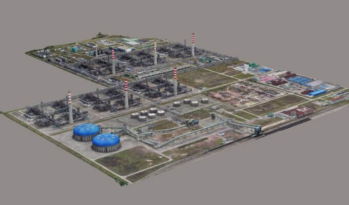
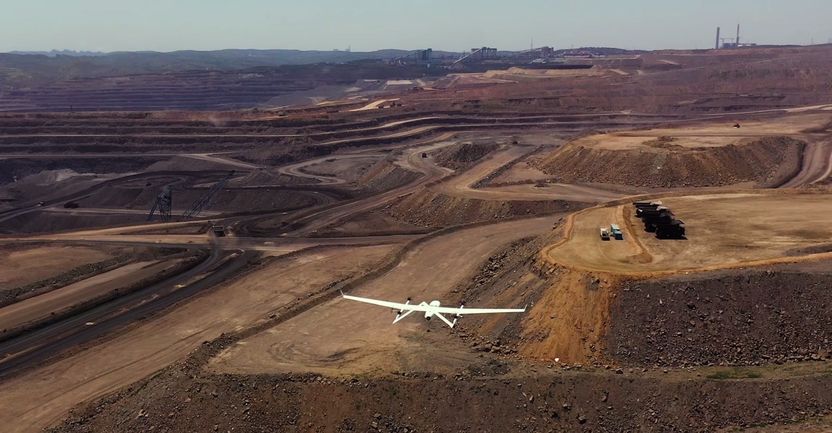
View infrastructure →Run tools on LiDAR, SAR, spectral, field video, and vector data. The agent turns cross-signal inputs into traceable products for exploration, basins, and compliance.
Product demo
Merge satellite, LiDAR, and telemetry in one analytic thread — no silos between teams.
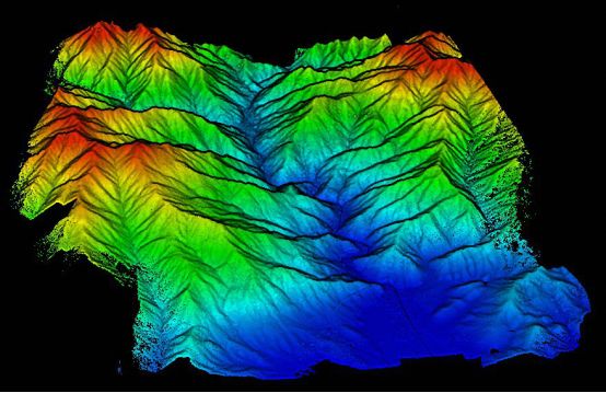
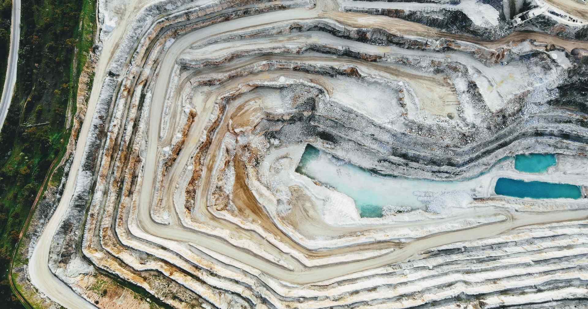
Continuum removal, spectral classification, and volumetrics with senior-analyst rigor.
Embeddings and models where field data is sparse — with declared uncertainty.
Spectral signature, material classification, and traceable layers in DAI-ATLAS.
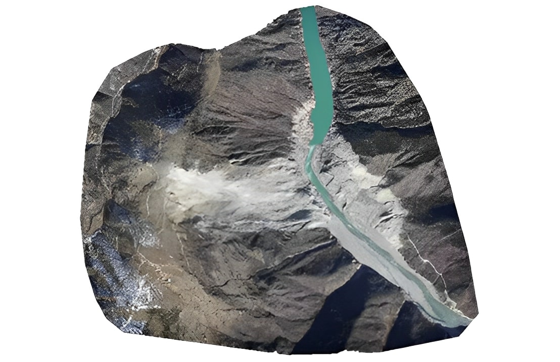
View mining →Glacier to reservoir: seasonal hydrological stress with SENAMHI, satellite, and basin models.
View basins →Territorial coverage, auditable pipelines, and decision-ready data for Peru and LATAM.
6
civil sectors with documented workflows
8+
end-to-end orchestrated capabilities
24/7
GDELT and sensor ingest in Atlas
100%
steps logged in every report
Three pillars — integration, generative AI, and no-code tools — in the pattern of leading geospatial platforms, adapted for sovereign mission.
Combine proprietary catalogs with Sentinel, field, and GDELT in a traceable environment — without exposing sensitive data outside your perimeter.
The agent reasons over real AOIs, not hallucinations: every answer anchors in layers, metadata, and verifiable sources.
Clear iconography, color layers, and guided flows — faster decisions for technical and non-technical teams.
Capabilities
Browse the agent catalog by capability type — discovery, processing, delivery, and interoperability.
Discovery, multimodal analysis, and analytic products ready for institutional review.
Understands geographic context and finds the right catalog, resolution, and time window.
Runs tools on LiDAR, SAR, spectral, field video, and vector — mission-meaningful outputs.
Generates vectors, annotated products, and processing summaries in minutes — ready for institutional review.
Brings geospatial capability into a modern chat — ask in plain language about your territory, not in processing scripts.
No. The agent is built for mixed teams: plain-language questions for non-experts and parameter control for senior analysts.
A 30-minute institutional demo: your users, your AOIs, and one full workflow — from question to traceable report.
UX pattern inspired by Google Geospatial Analytics · satellitemap.space · DAI product — clear, traceable, sovereign.