
Smart City
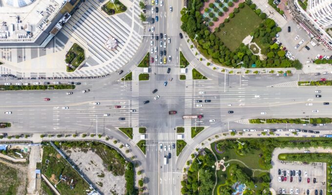
Utilizing the precise and refined technical advantages of drones in urban planning, engineering environment, smart transportation, urban safety prevention, control, etc., can help the development of smart cities.
DAI-ATLAS
Territorial intelligence for this sector
Satellite, IoT sensors, and DAI-UAV VTOL sorties converge in a live map — volumetrics, risk, change, and projection before the rest of the market.
Application Scenarios
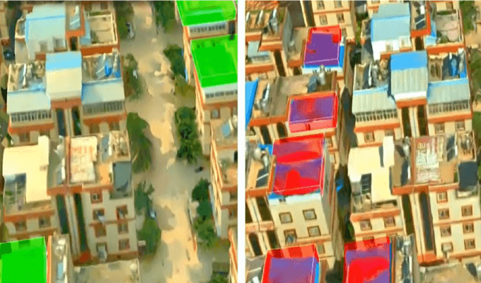

Urban engineering construction requires a comprehensive understanding of the work area and surrounding environmental information. Urban engineering construction needs to coordinate environmental protection with economic and social development. Drone surveying can map and measure the area of the project area, the volume of earth and stone and the degree of vegetation coverage, etc. It provides a basis for judging the rationality of environmental protection measures.
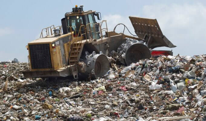
For scenarios with harsh operating environments, UAV remote sensing technology can collect data at low cost and low risk. Drone surveillance can be used to supervise waste treatment plants, obtain real-time high-altitude images of waste landfills and create three-dimensional models. UAV remote sensing technology can accurately calculate the remaining space of the landfill and make corresponding plans. It can identify people who litter the streets, as well as the trash that is discarded on beaches and deserts. It can monitor industrial waste dumped illegally by factories.

UAV remote sensing technology can undertake the following functions in the process of urban security :
Application Cases

The Shenzhen-Shantou Special Cooperation Zone officially launched the normal operation of "UAV + AI" in 31 application scenarios including rivers, reservoirs, linear projects, address disasters, and sewage outlets in April 2021. It combines the inspection and supervision of various IoT designated areas on the ground and ground inspections to form a unified inspection and Shenzhen-Shantou characteristic supervision system. It provides smart city data support for urban law enforcement, violation investigation and control, precise supervision, and precise governance.
Talk to DAI about VTOL missions, DAI-ATLAS fusion, and fleet integration.
Talk to Sales