


SHIELD · B2G
Defense systems
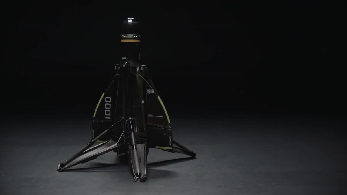
Roadrunner-class counter-UAS, Andean perimeter defense, and predictive intelligence fused in DAI-ATLAS.
Explore chapter →Predictive Territorial Intelligence · Not a drone company
DAI is not a drone company. DAI is a Predictive Territorial Intelligence platform.
Defense · Aerospace · Intelligence — Peru first. Orbit to Andes, one bridge.
CINEMATIC · OPERATIONAL CAPABILITY
Predictive Territorial Intelligence · Not a drone company
We unify satellites, drones, IoT sensors, AI agents, and geospatial analysis so governments, mining companies, infrastructure operators, energy companies, and defense agencies make better decisions — faster, with verified data, from any altitude.
DAI GUIDE · START HERE
DAI is not a retail drone shop. It is predictive territorial intelligence for government, defense, mining, and infrastructure — with field assets deployed under institutional program.
Suggested reading order
Mission, institutional operators, and how to request a demo or join the Peru Program.
Satellite → field → desk: the territorial stack linking orbit, VTOL, and DAI-ATLAS.
Counter-UAS shield, KONDOR, and Land · Air · Sea hardware — B2G channel only.
Authorized OEM platforms built to order — mission sensors fused in DAI-ATLAS, not camera retail.
Risk scoring, critical infrastructure watch, and territorial intelligence layers.
Mining, energy, surveillance, emergencies — same data, different institutional deliverables.
DUAL-LAYER COLLECTION · ANDES BASELINE
DAI combines orbital Andes coverage with VTOL DAI-UAV missions to collect territorial data, run institutional calculation pipelines through DAI-ATLAS, and deliver verified outputs — not raw pixels.
Explore DAI Atlas — Andes baseline map → · Peru Territorial Stack · Commercial programMultispectral and SAR-backed orbital passes establish national-scale baselines — change detection, NDVI corridors, watershed stress, and concession screening across the Peruvian Andes.
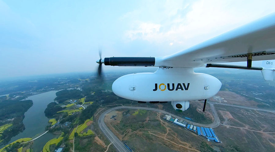
Certified VTOL platforms above 5,000 m collect RTK orthophotos, LiDAR, volumetrics, and live surveillance feeds where satellite resolution and revisit time are insufficient.
Automated pipelines turn fused imagery into auditable reports — stockpile cubic meters, crop stress indices, SEC perimeter alerts, tailings risk scores — typically within 24 hours.
CHAPTER 03 · SOVEREIGNTY & DEFENSE
Counter-UAS shield, KONDOR defense line, and DAI-ATLAS fusion for B2G desks. This is DAI's operational core for Peru and allies.
SHIELD · B2G
Roadrunner-class counter-UAS, Andean perimeter defense, and predictive intelligence fused in DAI-ATLAS.
Explore chapter →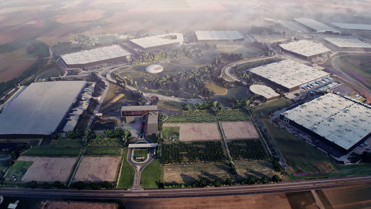
KONDOR · LAND · AIR · SEA
Land, Air, Sea, and Lattice combat hardware — multi-supplier KONDOR assembly under sovereign program.
Explore chapter →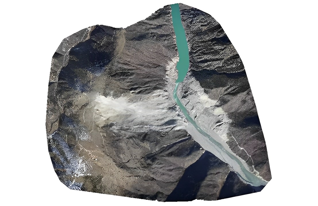
ONE MAP · MANY BRANDS
Drones, towers, cameras, and anti-drone systems connected in DAI-ATLAS — plain language for institutional teams.
Explore chapter →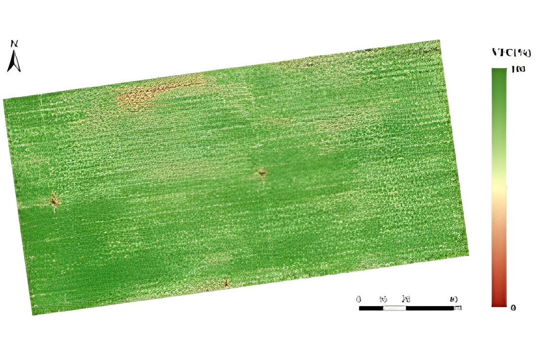
PERUSAT · SPACEX · ORBIT BRIDGE
From orbit to the Andes — sovereign satellite, field activation, and executive desk within 48 hours.
Explore chapter →Chapter 05 — scoring, monitoring, and territorial intelligence on the same orbital baseline.
CH. 02 · ORBIT BRIDGE
Field uplink, LiDAR, orthophoto, and Atlas Vision — institutional program for mining, agro, and defense.
Learn MoreCH. 03 · DEFENSE
Land, Air, Sea, and Lattice hardware — multi-supplier assembly and sovereign DAI-ATLAS fusion.
Learn MoreTERRITORIAL CONTROL DESK
Interactive Andes map — NASA SRTM, Sentinel, SENAMHI, MTC, and ACLED in one baseline.
Learn MorePREDICTIVE SCORING
AI territorial scores — mudslides, tailings, erosion, and concession boundaries before others.
Learn MoreCRITICAL ASSET MONITORING
Ports, corridors, and transmission lines — multi-agent swarm plus weekly VTOL coverage.
Learn MoreSatellite Andes baseline plus VTOL DAI-UAV field collection — hover each sector to see field video. DAI-ATLAS calculates outputs for agriculture, mining, security, and energy.
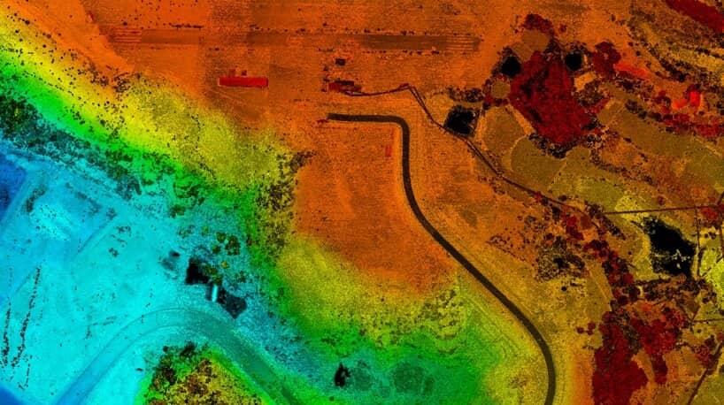
Orbital baselines fused with RTK orthophotos, oblique imagery, and LiDAR — large-scale mapping across the Peruvian Andes with survey-grade deliverables in 24 hours.
Learn MoreEasily explore the actual workflow and performance of DAI VTOL platforms online
Watch the demo