Environment
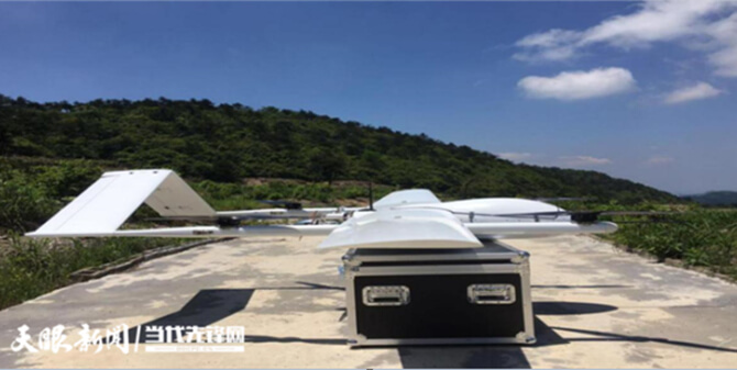
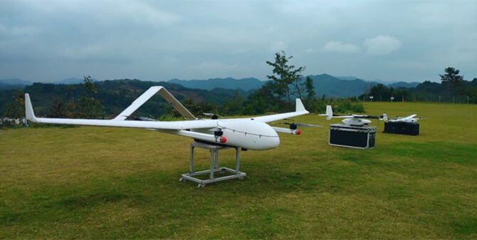
Drones realize a fast, accurate and efficient collection of multidimensional data of ecological environment
DAI-ATLAS
Territorial intelligence for this sector
Satellite, IoT sensors, and DAI-UAV VTOL sorties converge in a live map — volumetrics, risk, change, and projection before the rest of the market.
Application Scenarios
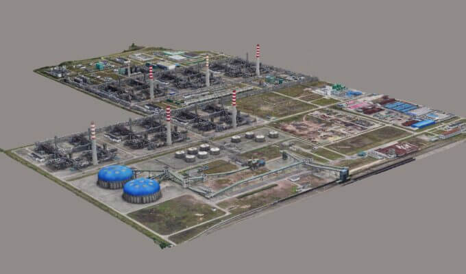
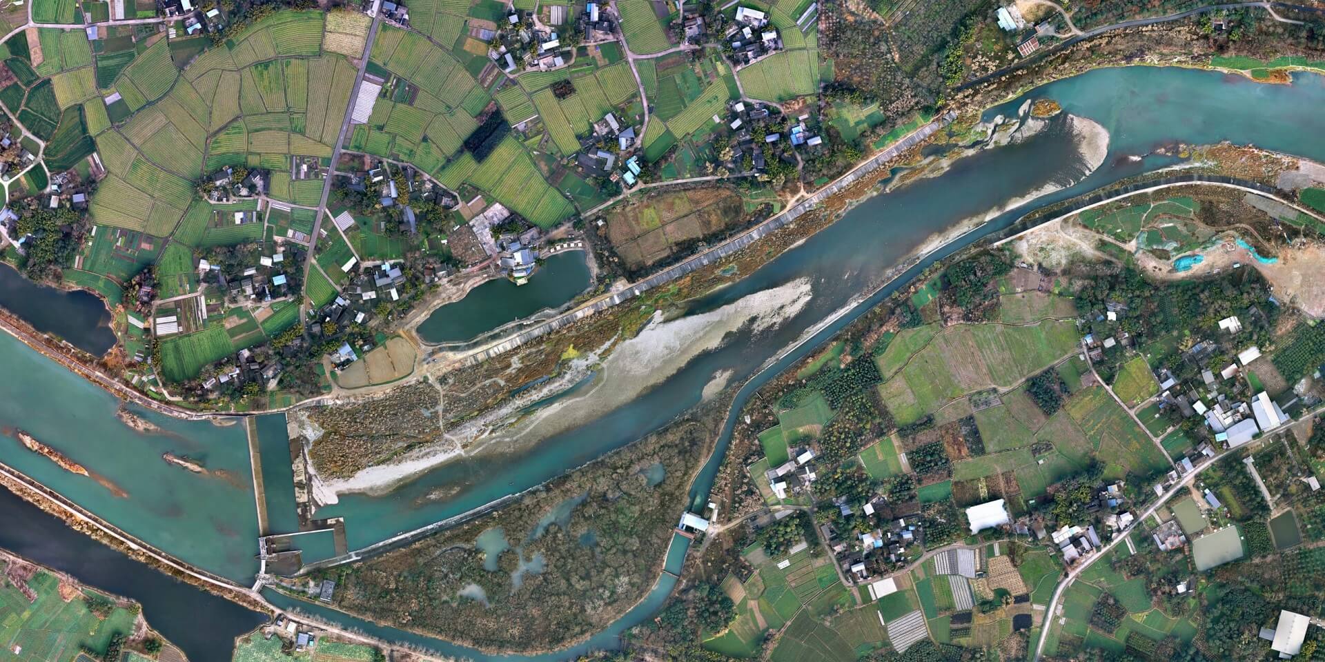
1) Direct observation of data, which can directly observe the prevention and control of soil erosion from the DOM; 2) Directly extract data, using Global-Mapper 15, using software measurement tools and polygon creation function, you can extract the length and area data required for monitoring; 3) Indirect calculation of data, through direct extraction of data combined with drone surveying and measurement, the volume of data required for monitoring can be indirectly calculated. The extraction of these data provides a data basis for the comprehensive evaluation of soil erosion and soil conservation and provides a data basis for the quarterly report form and monitoring summary report of soil and water conservation monitoring.
Application Cases
Talk to DAI about VTOL missions, DAI-ATLAS fusion, and fleet integration.
Talk to Sales