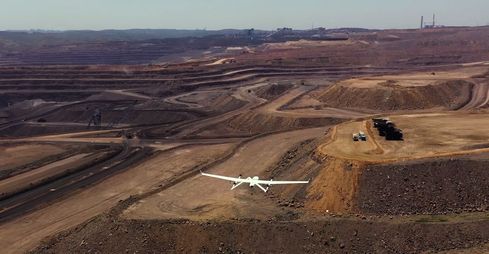
Mining & aggregates
Stockpiles, slopes, tailings, and Andean concessions — RTK volumetrics and predictive alerts.
- Orthophoto + LiDAR on program
- Tailings scoring
- 14-day deliverables
DAI-ATLAS · INDUSTRIES
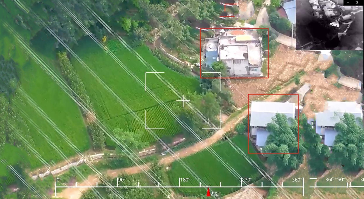
Leading organizations in mining, infrastructure, energy, defense, and natural resources operate with verified territorial intelligence — Peru and Latam first.
Stockpiles, slopes, tailings, and Andean concessions — RTK volumetrics and predictive alerts.

Highways, bridges, ports — MTC monitoring and state SLA compliance.
High-voltage lines, substations, forest corridors — thermography and vegetation.

Territorial picture, border, and events — unified panel for institutional decisions.
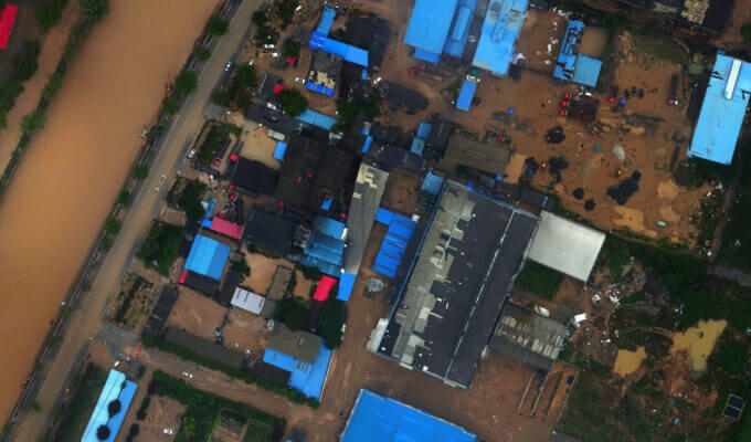
Critical basins, dams, hydrological risk — SENAMHI + elevation models integrated.

Pipelines, facilities, perimeter surveillance — threat detection on remote assets.
Request a sector brief with deliverables and institutional SLAs.
Request demo