Crisis map
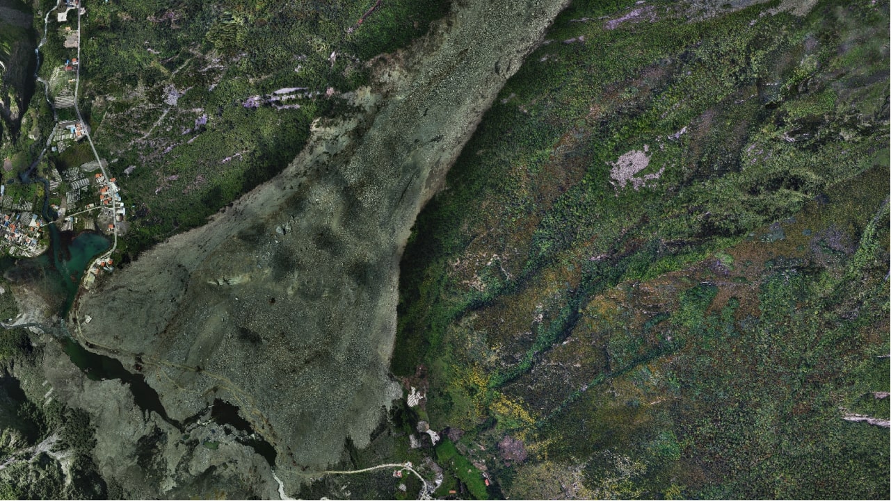
Active layers: damage, hydrology, access, critical sensors, satellite coverage.
CRISIS · AOI · COORDINATION
INTELLIGENCE · EMERGENCY
Flood, earthquake, landslide, or fire — orthophoto, thermal, and sensors fused on one map with clear priorities for coordination.
Sign up for 3 days of free desk access. After the trial, institutional activation continues under Derteano owner authorization.
The first 48 hours are lost coordinating incomplete data between institutions and field teams.
Institutional desk — not a single-flight viewer.
Active layers: damage, hydrology, access, critical sensors, satellite coverage.
Explicit prioritization to assign scarce resources in the first hours.
Automatic summaries for situation room — ES/EN per operator.
Starlink/mesh pathway when terrestrial network fails — see DAI stack.
“Aguas Verdes sector isolated on 06:40 orthophoto. Urgency 9/10 — divert rescue teams via high road KM 12; request VTOL sortie to confirm alternate bridge.”
Field operations — emergency
SAR VTOL, thermal, and supply delivery with certified operator.
View field operations →Registration includes 3 days of free desk access. After the trial, institutional activation continues under owner authorization.
No. Territorial intelligence and documentation for command — it complements INDECI or corporate protocols.
Depends on contract and weather window; the software publishes and versions each delivery in the same AOI.
3 days desk for training; real emergency deployment under institutional contract.
Ready for an institutional demo or contract activation?
Request demo